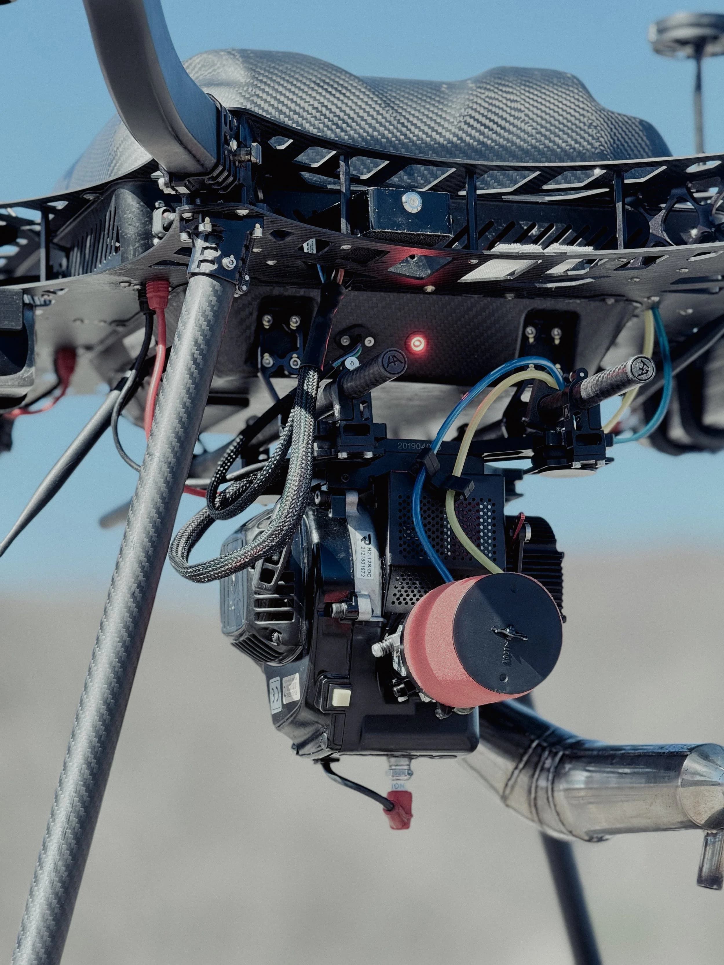
Dron Industrial Híbrido de Gas
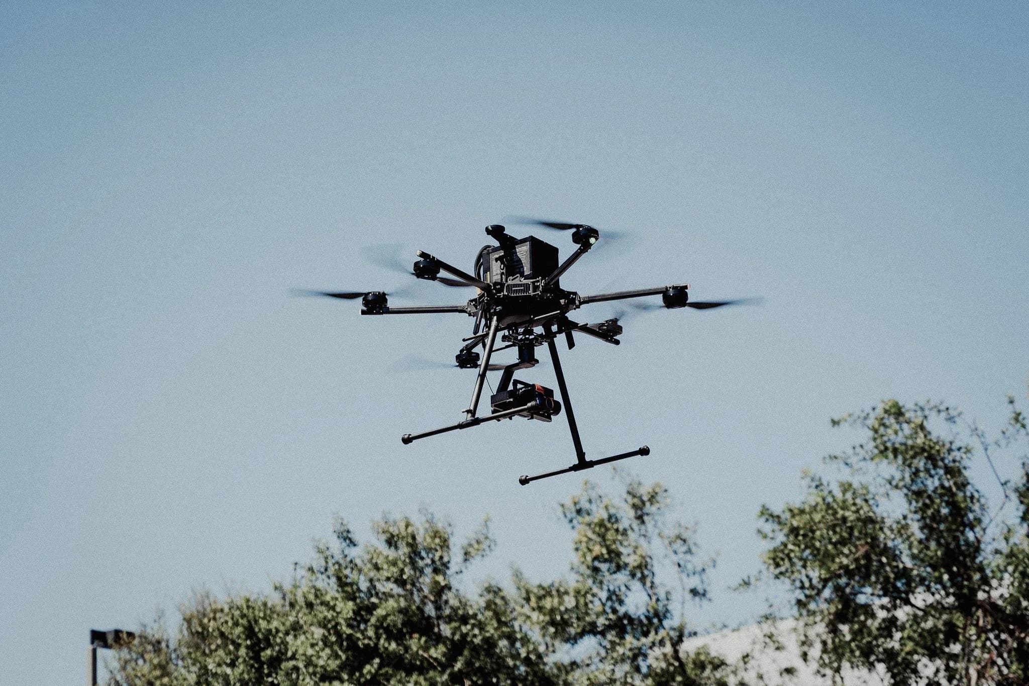
Plataforma de tiempo de vuelo extendido para levantamientos magnetométricos de gran área
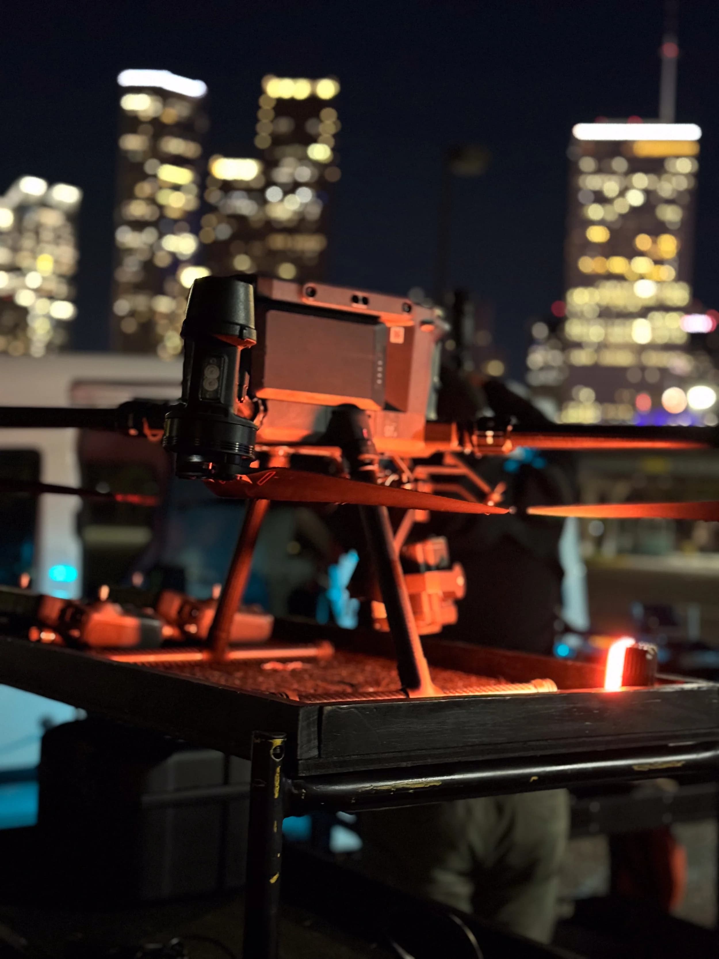
Equipos Reales
StrataIntel opera plataformas de drones de grado industrial, cargas útiles de sensores y sistemas de software diseñados para entornos petroleros exigentes.
Plataforma de tiempo de vuelo extendido para levantamientos magnetométricos de gran área
Plataforma industrial configurada para captura de datos visuales de alta resolución
Dron híbrido de gas con carga útil de magnetómetro para detección subsuperficial
Sistema de propulsión de servicio pesado para operaciones con carga útil
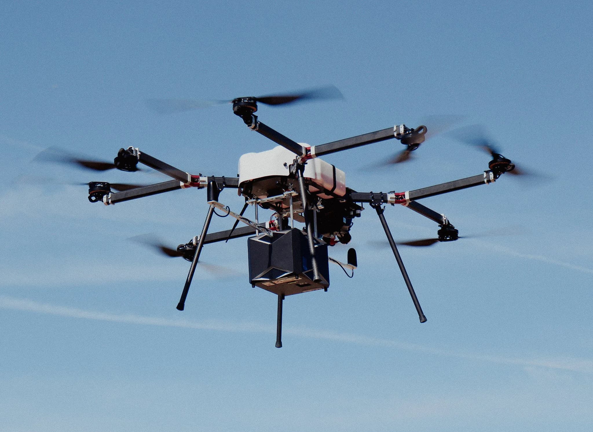
Dron industrial configurado para modelado de superficie de alta precisión
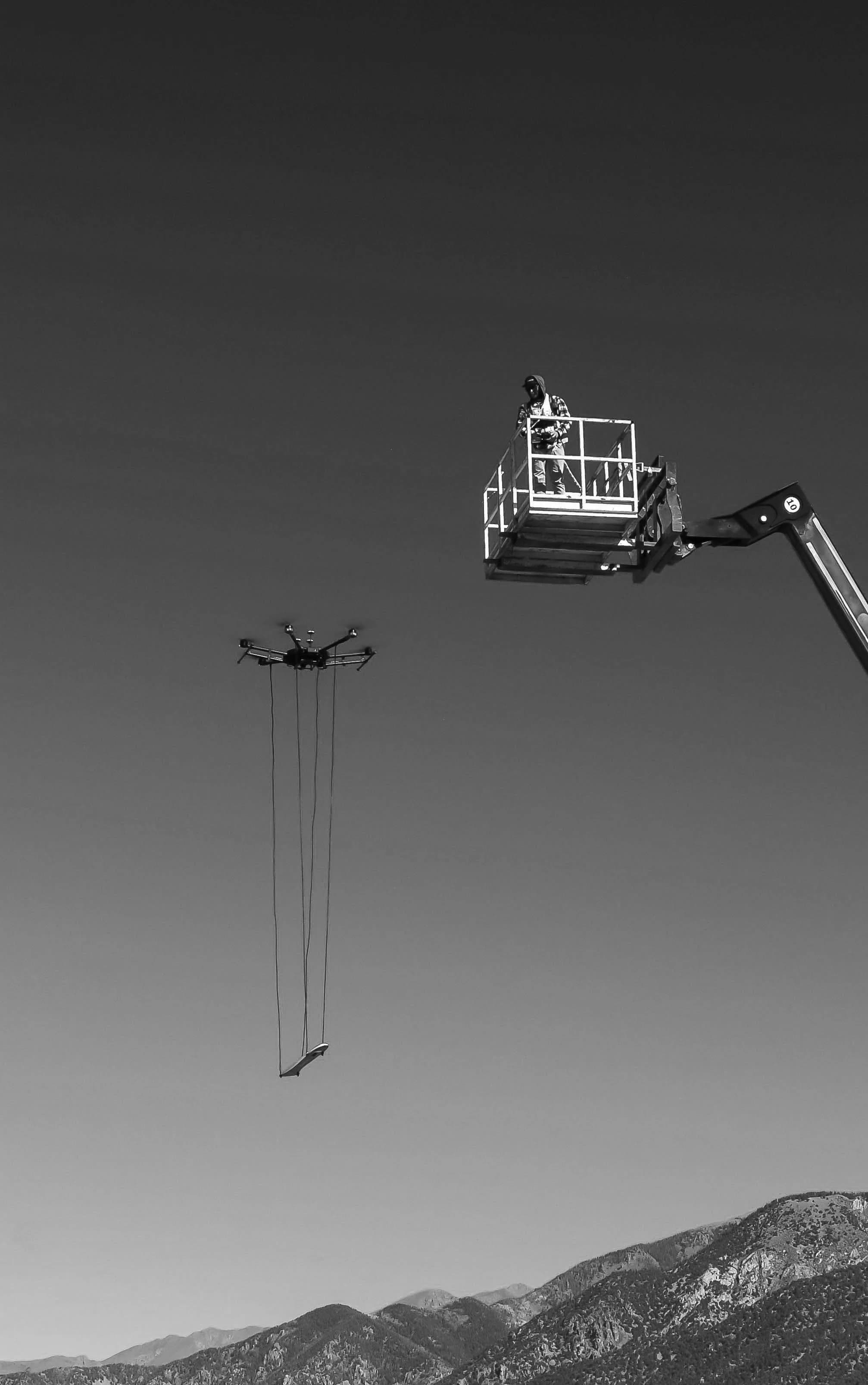
Magnetómetro de alta sensibilidad para detectar anomalías ferrosas subsuperficiales
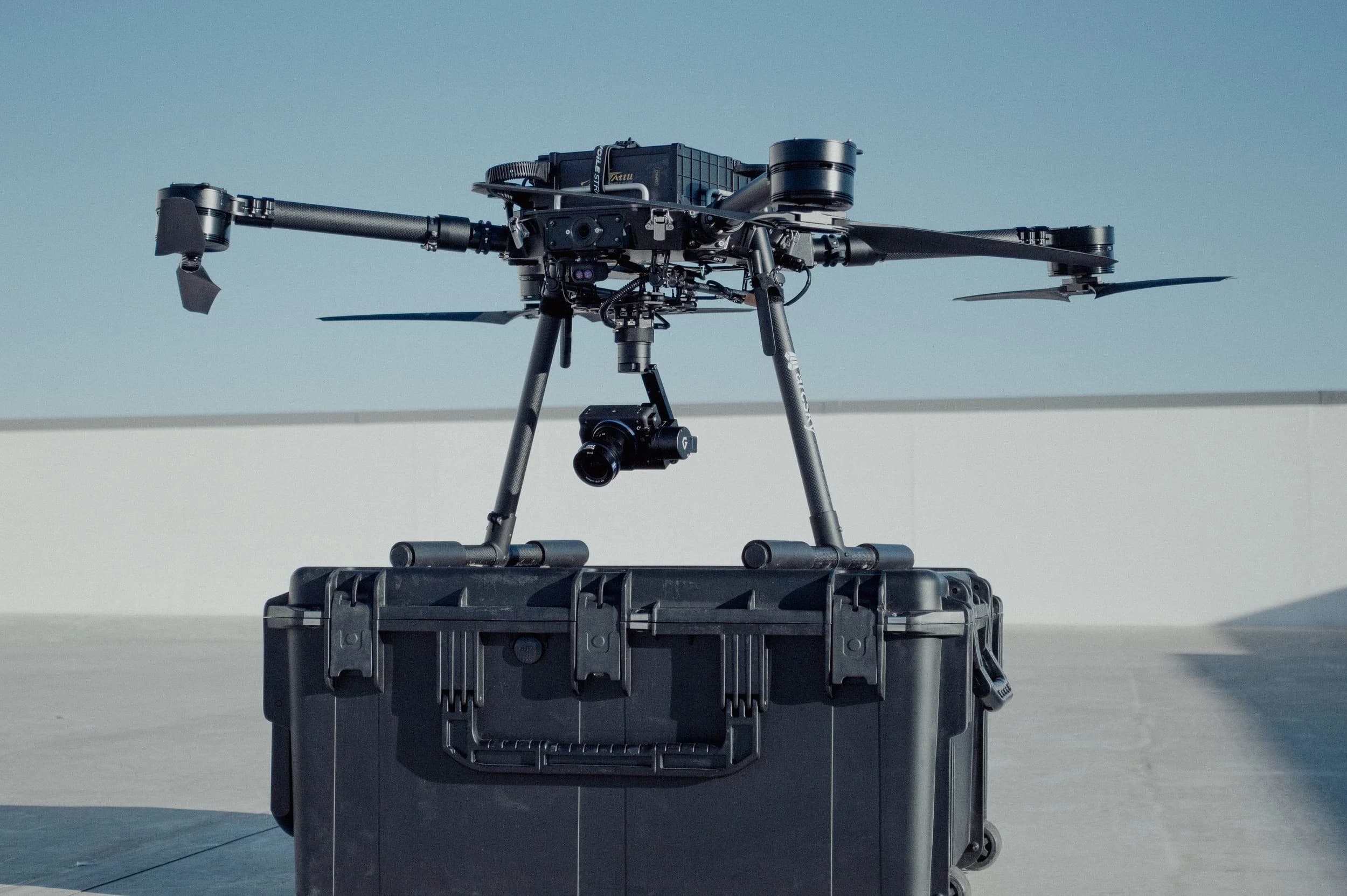
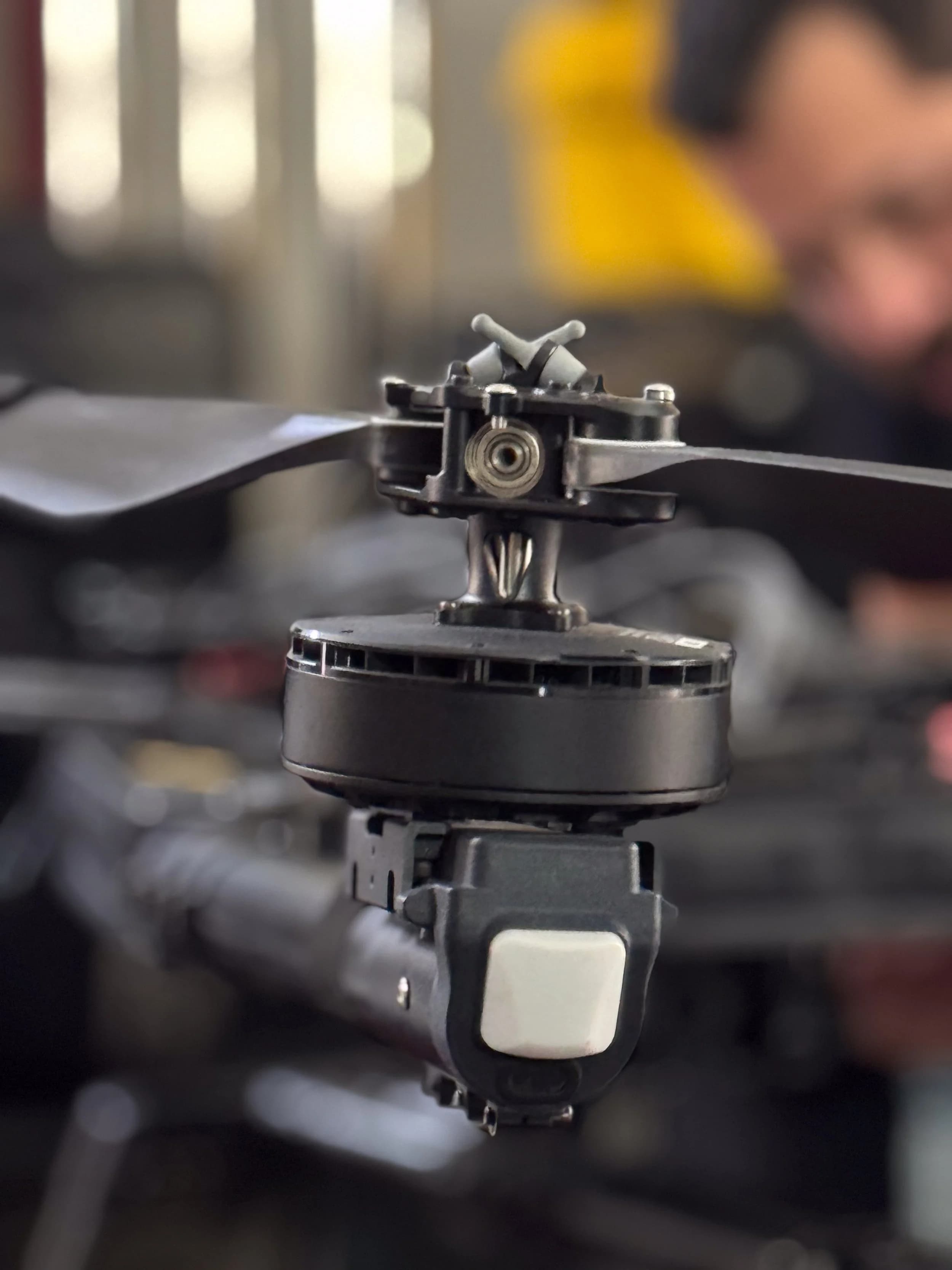
Sistema de cámara de alta resolución para documentación e inspección de superficie

Software propietario para procesar, analizar y entregar datos de inteligencia de campo